Here We Go!
Storms Are Developing to our South and Southeast

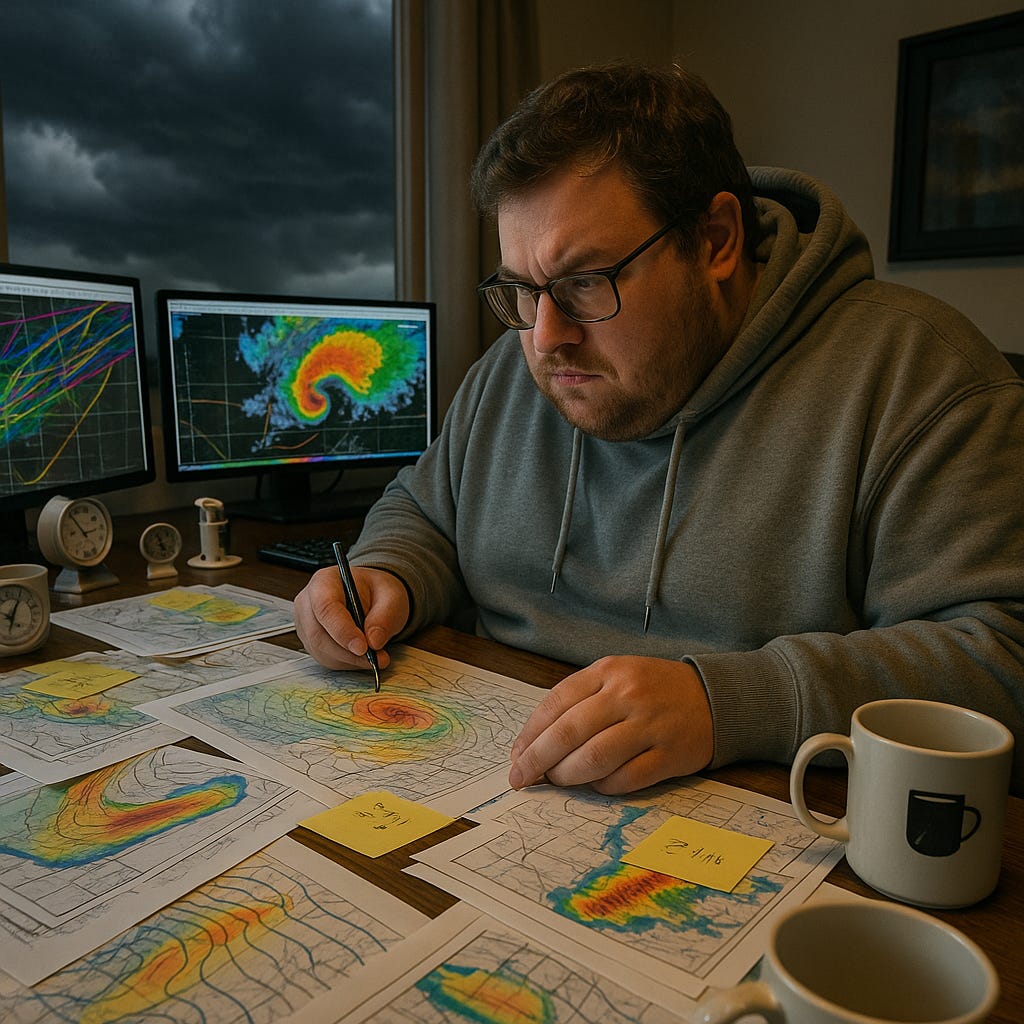
I’ve been noodling the numbers all morning (the following image was created by AI - I asked ChatGPT to create an image of a nerd analyzing severe weather data … this is what AI thinks a nerd looks like … apparently weather nerds like coffee mugs with images of a coffee mug on them).
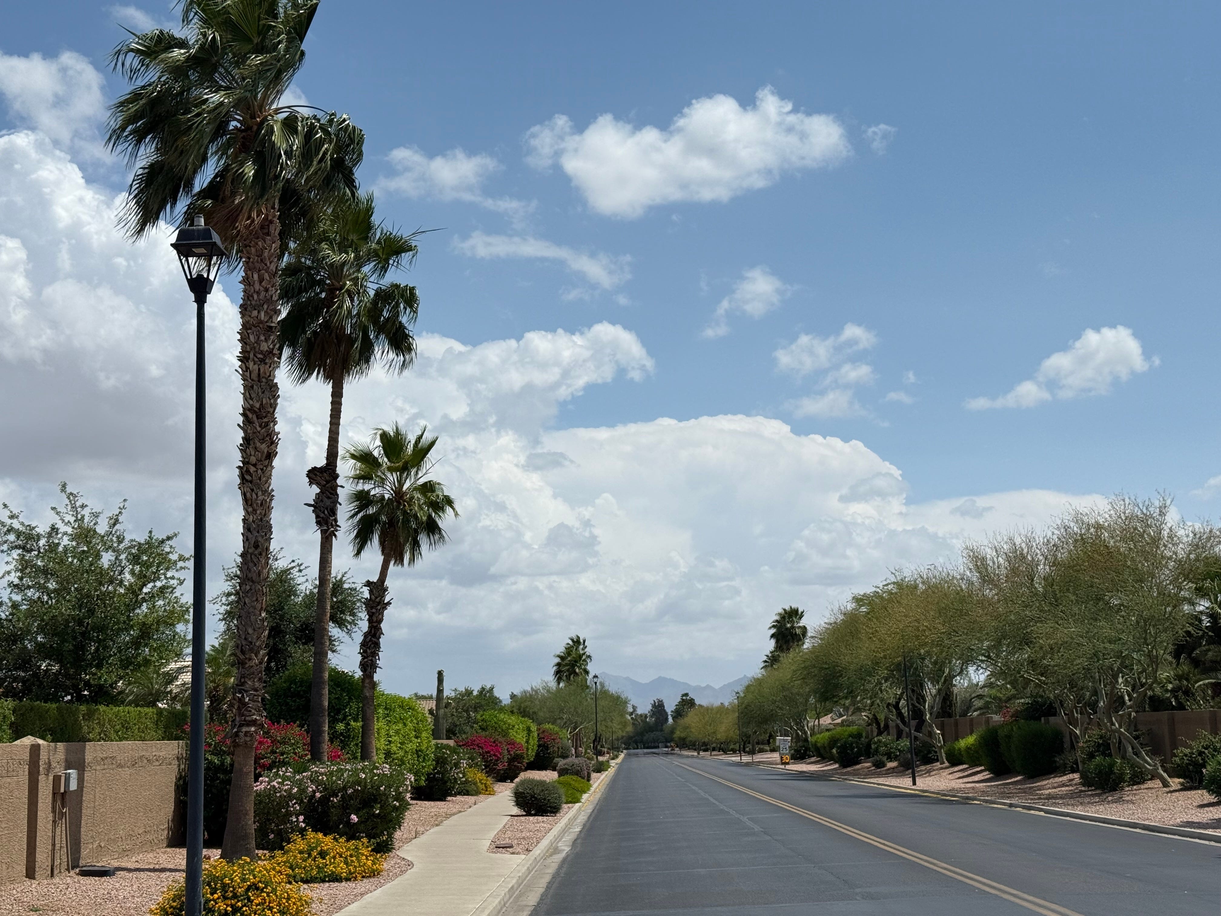
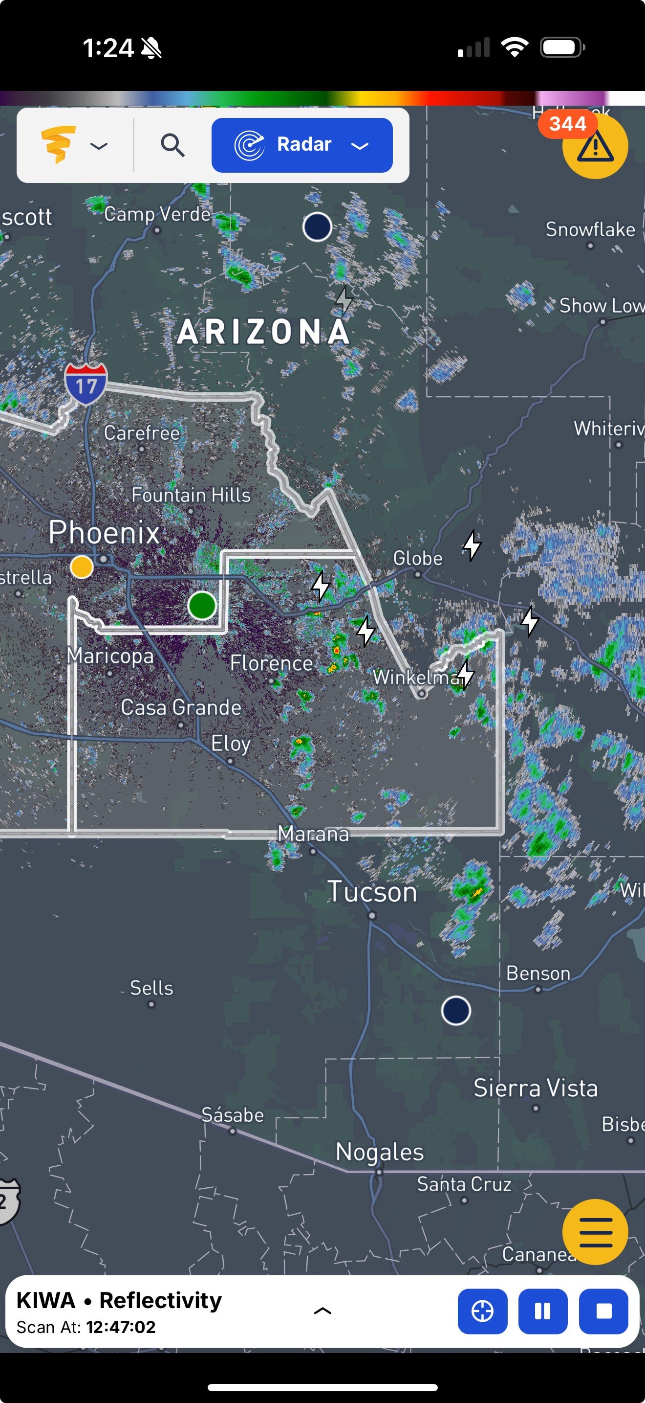
The radar now shows showers developing to our south.

We’ll want to keep an eye on stuff that develops between Gila Bend and Maricopa. The mountains east and southeast of Phoenix are generating showers that even have lightning bolts already! Storms northwest of Wickenburg are generating a nice amount of lightning, with a chance of a Severe Thunderstorm Watch being issued in Northwest Arizona this afternoon.
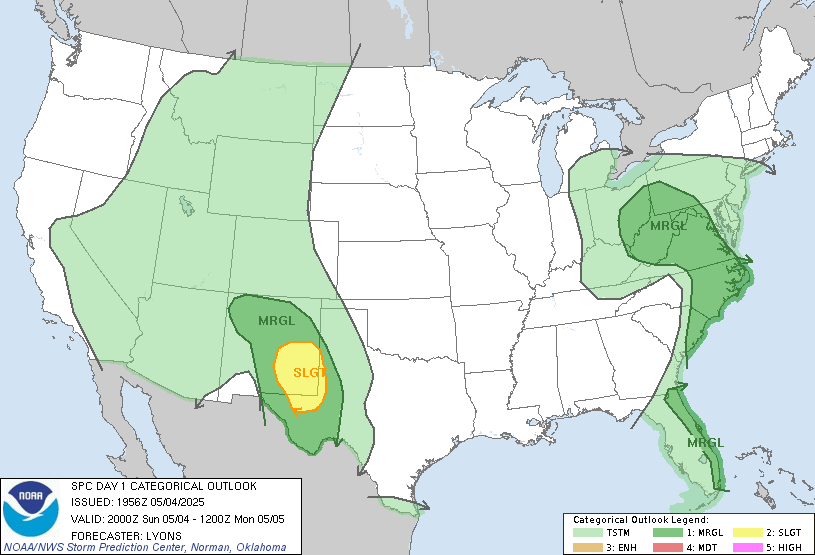
Speaking of AI, AI models published this morning think there is a very small chance of … wait for it … wait for it … a tornado near Phoenix.

That’s not going to happen, but storms could happen later today into tonight. The Storm Prediction Center thinks we have a chance of a thunderstorm today (green shading). Southeast New Mexico should be poppin’ today.
Should a storm close in on the West Valley, I’ll notify you appropriately.

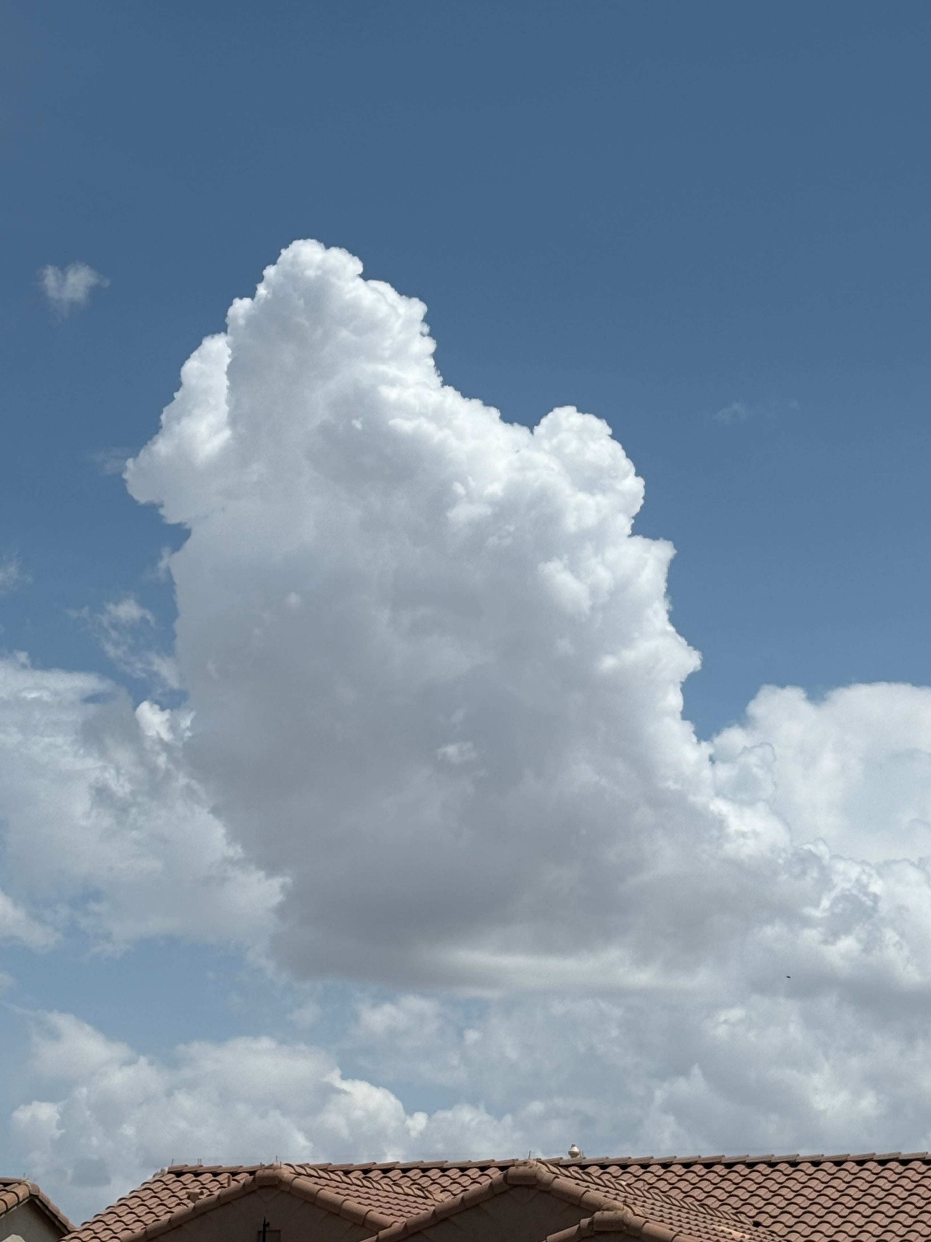
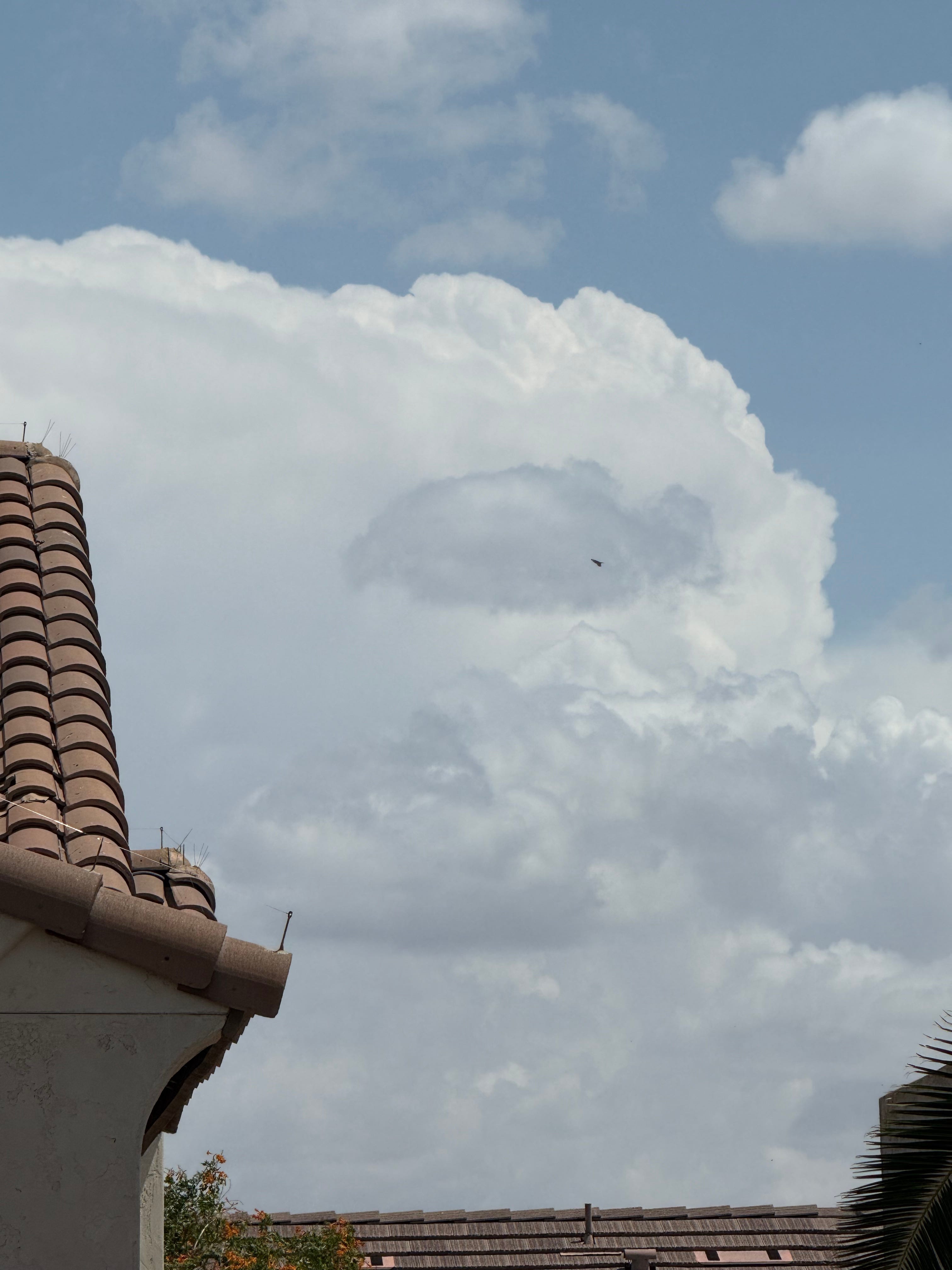
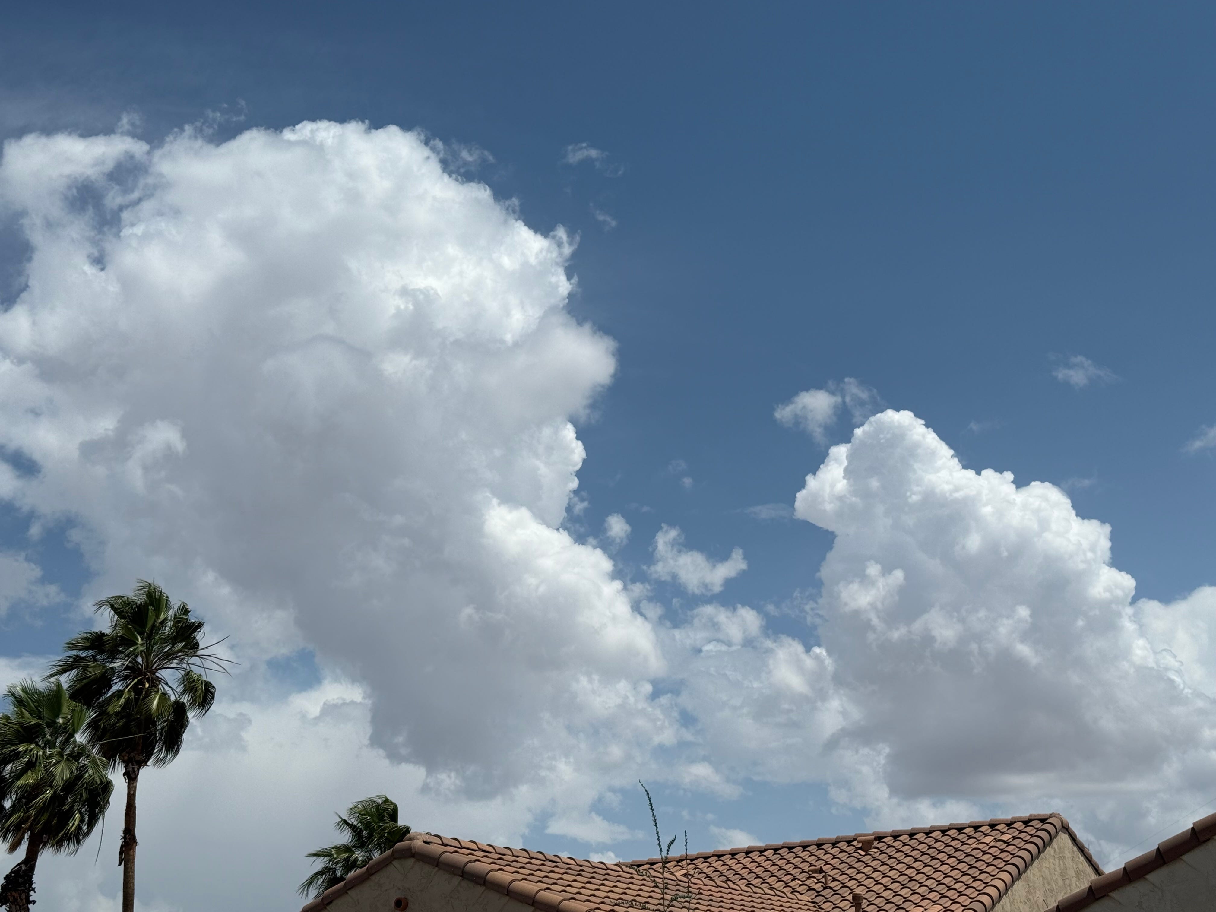
A quick trip outside shows bubbly air. Look at the beautiful clouds developing as we speak.